Seabed Mapping project, Selsey to Eastoke
Minor funds contribution (2013-2015) \ Channel Coast Observatory: up to £4,000
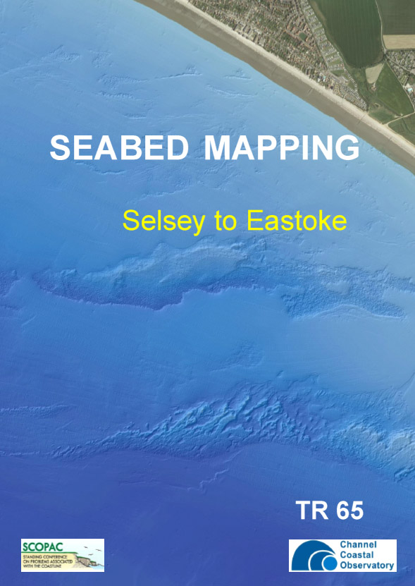
The Channel Coastal Observatory was awarded £4,000 to map a 40km² block of the 2013 East Solent swath bathymetry.
The 40km² block has been mapped and shows a variety of sediment textures, from bedrock, thin veneer of sediment, significant sediment deposits and mobile bedforms. The outputs will feed directly into the 2012 update of the Sediment Transport Study.
The report, including maps:
Download the report (PDF, 3Mb)
The EUNIS Level 3 Marine Habitat map and Substrate Type map (as ESRI shapefiles) can be downloaded and extracted from the .zip file: