RESPONSE European Project 2006-2009
Responding to the risks from climate change on the coast
A three-year project launched in December 2006, and led by the Isle of Wight Council, this project’s multi-national partnership comprised nine local Partner organisations in the UK, Italy, France and Poland.
RESPONSE was supported the European Union’s LIFE-Environment Programme (DG Environment) for sustainable development.
The aim was to demonstrate an innovative regional-scale methodology for coastal evolution and risk mapping, taking account of the impacts of climate change. The project also identified the current and predicted future costs of managing coastal risks, to assist the promotion of cost-effective preventative action, and assess the sustainability of risk management strategies and determine how adaptation to climate change can be implemented as a coastal planning strategy.
The project produced four key resources:
- A Training Pack detailing the process of producing maps showing future coastal evolution and risk increase for decision markets;
- A non-technical Good Practice Guide to assist end-users with best practice to reduce risks in developed coastal areas in a sustainable way;
- A CD-Rom which presents information and background reports produced as part of the RESPONSE Project, including documents prepared by the Study Areas;
- A 15-minute DVD providing a concise introduction to the issues of coastal risk management and climate change.
Project details and the outputs listed above are currently unavailable online, but we are able to offer copies of the maps produced as part of the project
RESPONSE Project Maps
The maps below were produced as part of the RESPONSE European Project that was carried out with the aim of providing a framework for understanding and preparing for the impacts of climate change in Europe.
Maps are presented in PDF format and each will open in a new window; files range in size from 3Mb – 8Mb:
Map 1a. Coastal Landforms
Map 1b. Coastal Processes
Map 2. Coastal Defence Management Types and Practices
Map 3. Current and Historic Natural Hazards
Map 4a. Coastal Assets and Population
Map 4b. Environmental Assets
Map 5. Coastal Behaviour Systems
Map 6. Potential Coastal Hazards
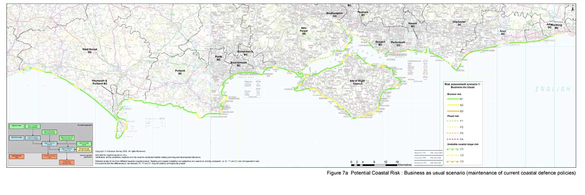
Map 7a. Potential Coastal Risk – Business as usual scenario
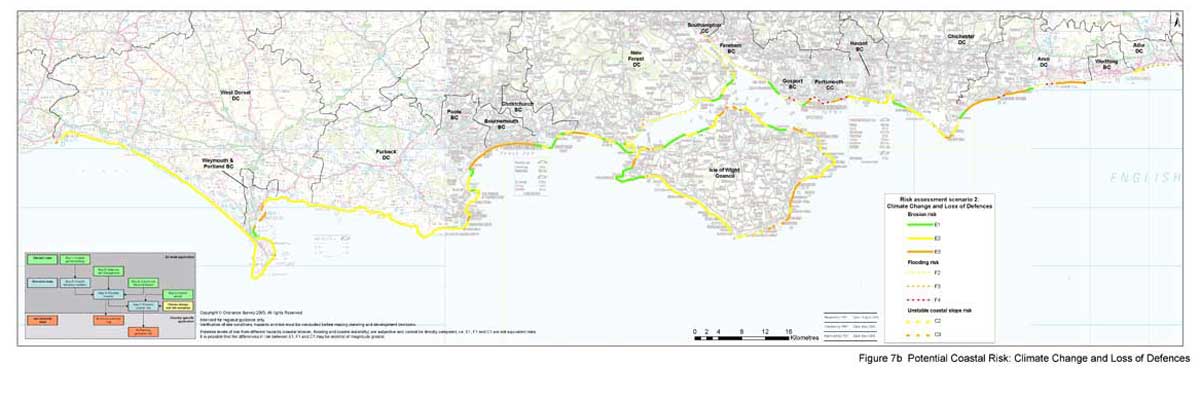
Map 7b. Potential Coastal Risk – Climate change and loss of defences
Map 8. Summary of Potential Coastal Hazards
Map 9. Planning guidance for the SCOPAC coastline


