ACCESS: Adapting to Coastal Change along England’s Southern Shorelines
Channel Coast Observatory: £26,000. Halcrow: £20,500. Coastal and Geotechnical Services: £14,000
Management/Printing: £5,725. Contingencies: £3,000
The ACCESS project (2011) investigated methods associated with effectively quantifying ‘Assets at risk along the SCOPAC coastline’.
Download the ACCESS project report 2011 (PDF, 5Mb)
The Project Report was launched to an audience of engineers, coastal scientists, planners, consultants and councillors at the National Oceanographic Centre on 18th November 2011 – with presentations from those involved
To request a hard copy of the Report please email sam.cope@havant.gov.uk
Background to the project
There is a need for more refined assessments to be made of the methodologies currently applied in Shoreline Management Plans and Flood and Coastal Erosion Risk Management Strategies to ascertain coastal erosion risk and identify and value the assets at risk, looking ahead over the next one hundred years.
The greater the erosion risk to property, the more likely the frontage will obtain the benefit-cost ratio required to achieve a Hold The Line policy, thereby potentially attracting funding for future works. Still, if methods are under- or indeed over-predicting erosion then there could be significant implications for future policy setting and central government funding distribution.
Coastal and Geotechnical Services, Halcrow and the Channel Coastal Observatory (CCO) undertook the work for this project.
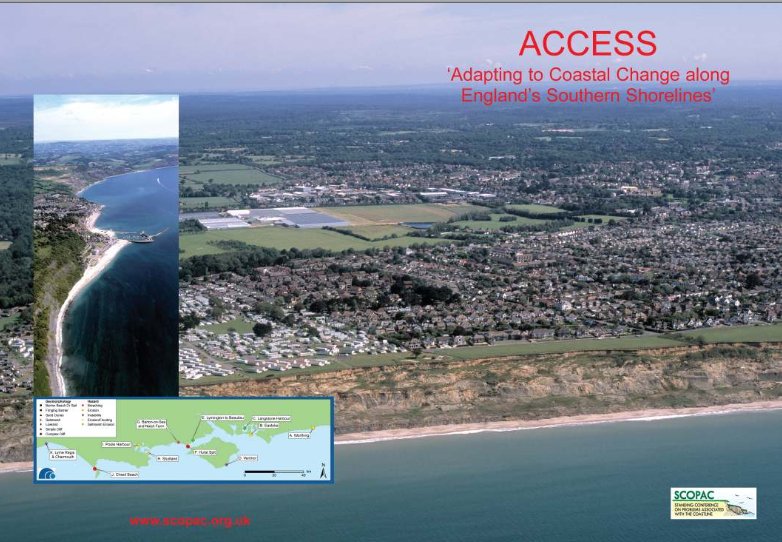
As an introduction to the project, the CCO used a coarse method to identify “hotspots” across the SCOPAC region where more than 40 properties are at risk from erosion and/or flooding within Shoreline Management Plan “Management Unit” boundaries over the next 100 years – see Figure 1 below

With a focus on sites under threat from instability, erosion and erosion followed by flooding, case studies for each geomorphology type were selected from the list of hotspots, ensuring a variety of examples were taken from across the SCOPAC region. These include the following case studies identified in Figure 2 below

Each case study details historical and predicted future geomorphological evolution, coastal monitoring, coastal management, adaptation of the shoreline and lessons learnt. A critique of Shoreline Management Plan erosion methods and national methods of erosion prediction was also undertaken for a selection of sites, as was the data used for assessing assets at risk and the monetary values applied to the assets at risk.
Download the ACCESS project report 2011 (PDF, 5Mb)