The SCOPAC “Adapting to Coastal Change Along England’s Southern Shorelines (ACCESS)” launch was held at the National Oceanography Centre on the 18th November 2011.
The morning event was attended by approximately 60 delegates comprising engineers, coastal scientists, planners, consultants and councillors.
Download the ACCESS project report (PDF, 5Mb)
The following summarises the agenda and talks from the day. Cllr Roger Elkins (Chairman of SCOPAC) opened and closed the day’s proceedings.
Session 1: Hazard & adaptation across the SCOPAC coastline
Introduction, who's been involved in the project, rationale of the project, what is adaptation?
PDF (1Mb) / Professor Robin McInnes, Coastal and Geotechnical Services
Introduction to "hotspots" and case studies
PDF (4Mb) / Sam Cope, Channel Coast Observatory
Case Studies
PDF (4Mb) / Professor Roger Moore, Halcrow
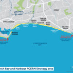
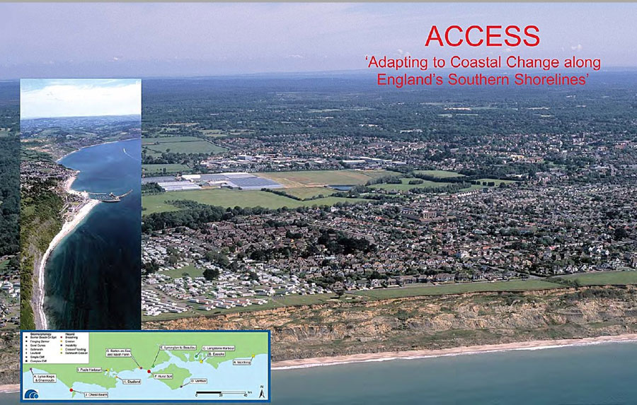
Barrier beaches, spits and fringing barriers at risk of breaching and erosion (Chesil beach, Hurst Spit, Worthing, Eastoke); lowland at risk of erosion and flooding (Poole Harbour); salmarshes at risk of erosion (Langstone Harbour and Lymington); sand dunes (Studland) at risk of erosion
Session 2: Predicting erosion and valuing assets at risk
Introduction to NCERM
PDF (1Mb) / Professor Roger Moore, Halcrow
NCERM '09 and SMP2 outputs
PDF (6Mb) / Sam Cope, Channel Coast Observatory
Comparison of methods for predicting erosion at national and regional level; determining properties at risk at SMP2 and Strategy level; valuing properties at risk at SMP2 and Strategy level
NCERM Outputs
PDF (1Mb) / Professor Roger Moore, Halcrow
Conclusions and Recommendations, the way ahead
PDF (4Mb) / Professor Andy Bradbury, Channel Coast Observatory